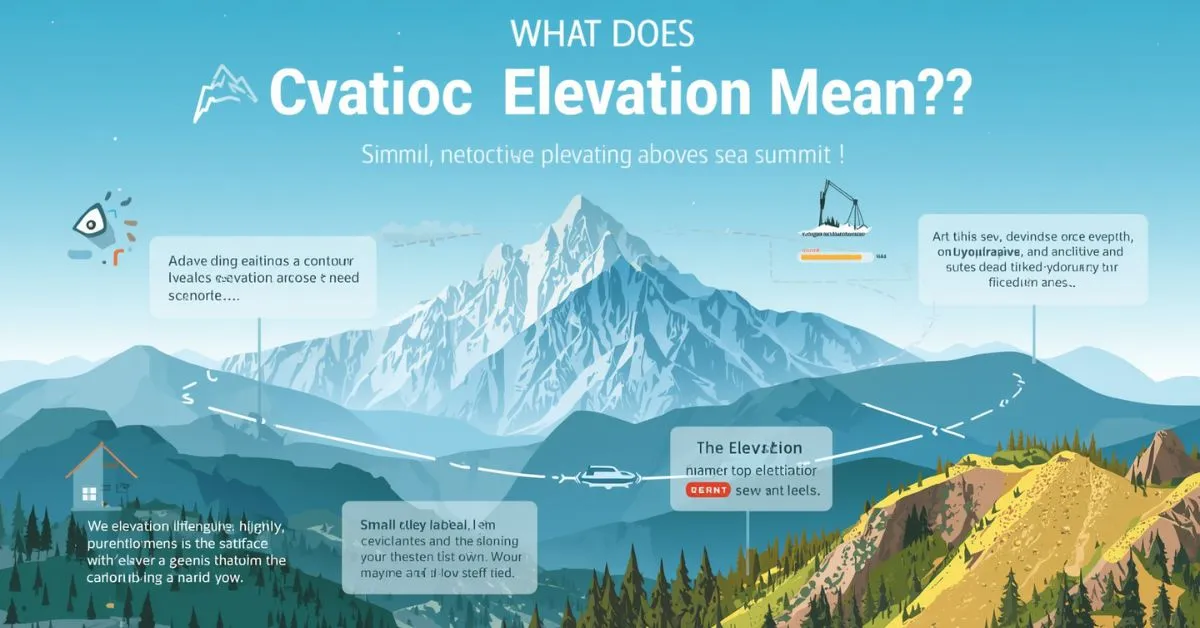
Elevation means the height of a place or point above a reference level, usually mean sea level. In geography, it describes how high land is.
On a map, elevation helps show terrain, slopes, mountains, valleys, and other landforms. In architecture, elevation can also mean a flat drawing of one side of a building.
Elevation is a common word, but many people are not fully sure what it means. You may see it on Google Maps, in a hiking app, on a topographic map, in a weather report, or in a building plan. Most of the time, elevation refers to how high something is compared with a known level.
That level is often sea level, but sometimes it can be the ground, a floor, or another base point. Once you understand the reference point, the meaning of elevation becomes simple. This guide explains the word in plain English, shows how it is used on maps, and compares it with altitude and height.
What does elevation mean in simple words?
In simple words, elevation means height above a set level.
When people talk about a city, mountain, hill, plateau, valley, or road, they usually mean height above sea level. That is the most common use of the word in geography.
For example:
- A town at 2,000 feet elevation sits 2,000 feet above sea level.
- A summit with an elevation of 8,500 feet is very high land.
- A desert basin below sea level has a negative elevation.
So when someone searches “what does elevation mean,” they usually want this simple answer first:
Elevation is the vertical height of a place or point above a reference level, usually mean sea level.
That is the core meaning.
What does elevation mean above sea level?
This is the meaning most readers care about.
In geography, elevation above sea level tells you how high land is compared with mean sea level. Mean sea level is a standard reference surface used in mapping, surveying, GPS, and GIS systems.
Why sea level is used
Sea level gives geographers, mapmakers, and surveyors a common starting point. Without a shared reference point, it would be hard to compare the height of one place to another.
For example:
- A beach may be close to 0 feet elevation
- A city in a mountain region may sit at 5,000 feet elevation
- A summit may rise above 10,000 feet elevation
- A basin like Death Valley can be below sea level
That is why people often say:
- high elevation
- low elevation
- elevation above sea level
What high elevation means
High elevation means a place is far above sea level. High-elevation areas often have:
- cooler temperatures
- thinner air
- lower oxygen levels
- stronger sun exposure
- different plants and animals
This is why travelers, hikers, runners, and climbers often check elevation before going to mountain destinations.
What does elevation mean on a map?
On a map, elevation shows the shape of the land. It helps you understand whether an area is flat, steep, mountainous, hilly, or low.
How maps show elevation
A topographic map usually shows elevation with:
- contour lines
- contour intervals
- spot elevations
- color shading
A contour line connects points of equal elevation.
A contour interval is the vertical difference between one contour line and the next.
This helps readers understand terrain such as:
- mountains
- ridges
- slopes
- valleys
- plateaus
- basins
- summits
For example, when contour lines are close together, the slope is steep. When they are far apart, the land is flatter.
Modern map tools and elevation
Today, elevation is also shown in:
- GPS devices
- Google Maps and hiking apps
- GIS software
- Digital Elevation Models (DEMs)
- USGS terrain maps
A Digital Elevation Model is a digital representation of the land surface. It is widely used in geography, engineering, construction, flood planning, and land analysis.
So when someone asks “what does elevation mean on a map,” the answer is:
It means how high a place is, and it helps show the form of the terrain.
Elevation vs altitude vs height
These words are related, but they are not exactly the same.
| Term | Meaning | Most Common Use |
|---|---|---|
| Elevation | Height above a reference level, usually sea level | Land, cities, mountains, terrain, maps |
| Altitude | Vertical distance above Earth or sea level | Airplanes, aviation, flight, atmosphere |
| Height | General vertical measurement from bottom to top | Buildings, people, trees, walls, objects |
Elevation vs altitude
The easiest rule is this:
- Elevation is usually used for land
- Altitude is often used for air
For example:
- The elevation of Denver refers to how high the city sits above sea level.
- The altitude of an airplane refers to how high it is flying.
Elevation vs height
Height is a broad word. It can describe almost anything measured from bottom to top.
For example:
- the height of a door
- the height of a tower
- the height of a person
Elevation is more specific. It usually connects to a fixed reference point such as sea level or ground level.
Why elevation matters in real life
Elevation is not just a geography term. It matters in everyday life too.
Travel and hiking
Hikers often check:
- starting elevation
- summit elevation
- elevation gain
- trail profile
Elevation gain means the total uphill climb during a route. A trail may start at 4,000 feet and rise to 6,000 feet, giving you 2,000 feet of elevation gain.
Weather and climate
Elevation affects:
- temperature
- snowfall
- rainfall patterns
- wind
- growing seasons
Higher places are often cooler than lower ones. That is why mountain towns and valleys can have different weather even when they are close together.
Health and the human body
At very high elevation, thinner air means less oxygen. This can affect breathing, exercise, and sleep. People sometimes need time for acclimatization when traveling to high mountain areas.
Construction and land planning
Engineers, architects, surveyors, and builders use elevation for:
- drainage planning
- road design
- flood risk
- slope analysis
- property grading
- foundation levels
In these fields, elevation is a practical measurement, not just a definition.
Other meanings of elevation
The most common meaning is geographic, but the word has other uses too.
Elevation in architecture and construction
In architecture, an elevation is a flat drawing of one side of a building. It may show the:
- front elevation
- rear elevation
- side elevation
- facade
An elevation drawing helps show doors, windows, rooflines, wall surfaces, and exterior design.
For example:
- “The architect changed the front elevation.”
- “The side elevation shows the window placement.”
- “The facade looks balanced in the final elevation drawing.”
So in architecture, elevation does not only mean height. It can mean a straight-on view of a structure.
Elevation in everyday language
Sometimes elevation means a rise, lifting, or improvement.
Examples:
- elevation of mood
- elevation of status
- spiritual elevation
This is a more figurative meaning, but the basic idea is still the same: something is being raised.
Real examples of elevation
Here are a few simple examples that make the meaning easier to understand.
Geography examples
- “This mountain village has an elevation of 7,200 feet.”
- “The summit stands at a much higher elevation than the valley.”
- “The plateau has high elevation but a fairly flat surface.”
- “The basin sits below sea level.”
Map examples
- “The topographic map uses contour lines to show elevation.”
- “The contour interval is 20 feet.”
- “The spot elevation marks the hilltop.”
Hiking examples
- “This trail has 1,500 feet of elevation gain.”
- “The route starts at low elevation and climbs to the ridge.”
- “The higher elevation made the hike harder.”
Building examples
- “The front elevation includes the main entrance.”
- “The architect revised the side elevation.”
- “The facade looks different in the new elevation drawing.”
Common mistakes and things to avoid
Many articles stay too basic and do not clear up the confusion. Here are the biggest mistakes readers make.
1. Thinking elevation always means altitude
It does not. Elevation is usually used for land. Altitude is more common for aircraft and flight.
2. Thinking elevation and slope mean the same thing
They are different.
- Elevation = how high a point is
- Slope = how steep the land is
A plateau can have high elevation but low slope.
3. Thinking elevation only applies to mountains
Not true. Elevation can describe:
- valleys
- plains
- plateaus
- hills
- roads
- cities
- deserts
- basins
Any location can have an elevation.
4. Forgetting that elevation can be below sea level
Some places are below sea level, so elevation can be negative.
5. Confusing architecture meaning with geography meaning
In architecture, elevation often means a drawing of a building side. In geography, it means vertical height above a reference point.
Quick summary table
| Question | Simple Answer |
|---|---|
| What does elevation mean? | Height above a reference level |
| What does elevation mean in geography? | Height of land above mean sea level |
| What does elevation mean on a map? | A way to show how high or low terrain is |
| Is elevation the same as altitude? | No, elevation is usually for land; altitude is often for air |
| Can elevation be below sea level? | Yes |
| What does elevation mean in architecture? | A flat drawing of one side of a building |
Practical takeaways
Here is the easiest way to remember the word:
- Use elevation for land, terrain, and maps
- Use altitude for aircraft and flight
- Use height for general vertical measurement
- On a topographic map, elevation is shown through contour lines and contour intervals
- In architecture, elevation can mean the front, rear, or side view of a building
That simple rule will help you use the word correctly in most cases.
FAQ Section
1. What does elevation mean in geography?
In geography, elevation means the height of land or a location above mean sea level.
2. What does elevation mean on a map?
On a map, elevation shows how high or low the land is. It helps readers understand terrain, slopes, ridges, valleys, and mountains.
3. Is elevation the same as altitude?
No. Elevation usually describes land height, while altitude is more often used for aircraft, flying, or distance above Earth in the air.
4. What does high elevation mean?
High elevation means a place is far above sea level. These areas often have thinner air, cooler temperatures, and lower oxygen levels.
5. What does elevation gain mean?
Elevation gain is the total amount of uphill climbing during a route, hike, or ride.
6. Can elevation be below sea level?
Yes. Some places have elevations below sea level, such as basins or very low desert areas.
7. What does elevation mean in architecture?
In architecture, elevation means a straight-on drawing of one side of a building, such as the front elevation or side elevation.
8. How is elevation measured?
Elevation is usually measured in feet or meters above a reference level, most often mean sea level.
Conclusion
So, what does elevation mean? In most cases, it means the height of a place above a reference level, usually mean sea level. It is a key term in geography, cartography, topographic maps, GPS, GIS, engineering, construction, hiking, and architecture. Whether you are looking at a mountain summit, a valley floor, a contour map, or a building facade, elevation helps explain vertical position in a clear way.
Read Also This Post: What Does ASL Mean on Snapchat?

Hi, I’m Evan Lexor, the voice behind Meanvia.com. I break down English words, slang, and phrases into clear, simple meanings that actually make sense. From modern internet terms to everyday expressions, my goal is straightforward: help you understand English better, faster, and with confidence, one word at a time.